Establishing Survey Units and Observation Points
The first step in getting started with IWMM is to define your survey unit where waterbird counts, unit conditions, annual vegetation assessments and the recording of management actions will be conducted. In the simplest terms, the survey unit is a discrete area with fixed boundaries that stay the same throughout the season and across years to ensure data comparability. Typically, lands on a particular site (e.g., on a wildlife management area, national wildlife refuge) are divided into management units, where recurring waterbird management actions are applied. Existing management units should be utilized as IWMM survey units whenever possible to enable managers to track waterbird use in response to their management activities. However, IWMM survey units can range from intensively managed (e.g. moist-soil units) to more natural areas with little or no direct management capabilities. As long as boundaries are clearly described and the survey unit remains consistent over time, the IWMM protocol can be used to track waterbird use and response to management actions. Therefore, the terms “management unit” and “survey unit” are equivalent in IWMM.
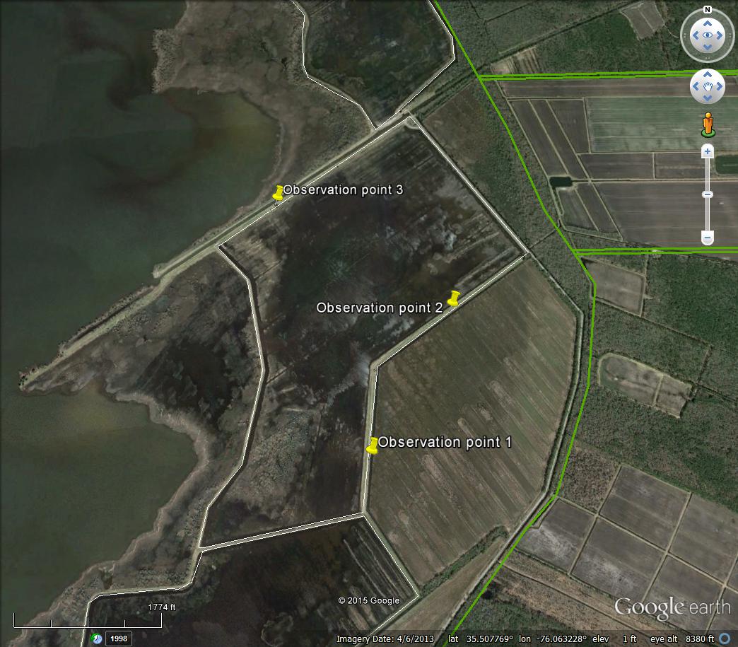
To conduct waterbird counts, the IWMM protocol recommends that the observer be able to see >70% of the survey/management unit. Small units will typically need only one strategically placed observation point along the perimeter of the unit to meet this recommendation. For larger units, observers will often need to designate two or more observation points around the unit perimeter to enable them to observe > 70% of the unit. The observation points should be GPS’d and remain the same from year-to- year.
Below are examples of survey units and placement of observation points to visually assess > 70% of unit.