Wendy Stanton, Refuge Biologist
Mattamuskeet National Wildlife Refuge (MNWR), located in northeastern North Carolina, was established by Executive Order 6924, dated Dec. 18, 1934 as a refuge and breeding ground for birds and wild animals and for use as an inviolate sanctuary or for any other management purpose for migratory birds. (16 U.S.C. § 715d (Migratory Bird Conservation Act of 1929)).
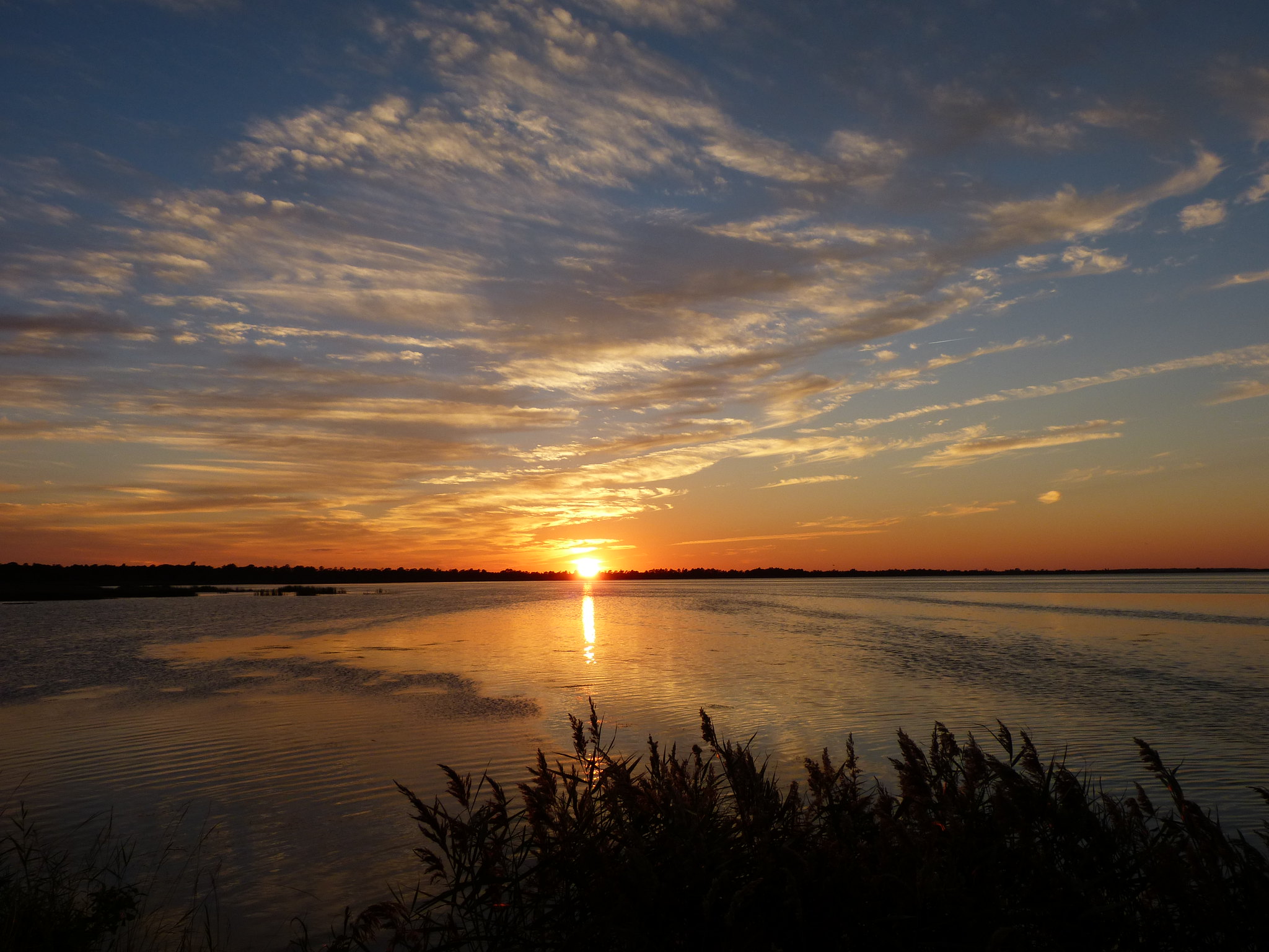
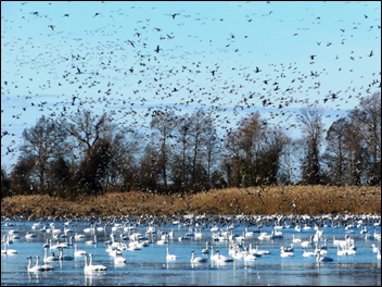
Most of the refuge is comprised of Lake Mattamsukeet, North Carolina’s largest naturally formed lake. The lake covers approximately 40,000 acres. It is difficult to exaggerate the true importance of the lake and surrounding freshwater marsh impoundments and wetlands to regional wintering waterfowl. This refuge is a magnet that attracts hundreds of thousands of migrating and wintering waterfowl that utilize the Atlantic Flyway.
Since the refuge was established, waterfowl and other bird monitoring began shortly aftwerwards and continues in various forms. MNWR began participating in the Integrated Waterbird Management and Monitoring (IWMM) program during the initial pilot phase in spring of 2011.
Adopting IWMM has allowed MNWR to standardize its monitoring protocols for waterbird counts, unit conditions, and annual vegetation composition and track its management actions. Most importantly, IWMM allows MNWR the ability to share data regionally and at the flyway scale through the Avian Knowledge Network. This has never been possible before.
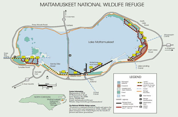
Managed freshwater impoundments (12 on the refuge totaling 1,933 acres) are crucial to meeting the purpose of MNWR. These areas provide foraging and resting habitat for migrating and over-wintering waterfowl and are listed as priority habitats for the Habitat Management Plan (HMP).
IWMM data collected at MNWR help determine if our HMP objectives are being met. These objectives include, but are not limited to: 1) areas of good/fair waterfowl foods (plants) vs. areas of poor waterfowl foods; 2) seasonally-appropriate water levels; 3) waterfowl use in fall and winter, and 4) migrating shorebird use in spring and fall. In addition, annual vegetation surveys allow us to monitor trends in vegetation response and bird use as it relates to our management actions. Finally, with the ability to track our management actions using the online IWMM database, we can evaluate and adjust our annual HMP.
Continued use of IWMM will help MNWR meet its primary purpose as a premier migratory waterfowl refuge in the southeast!